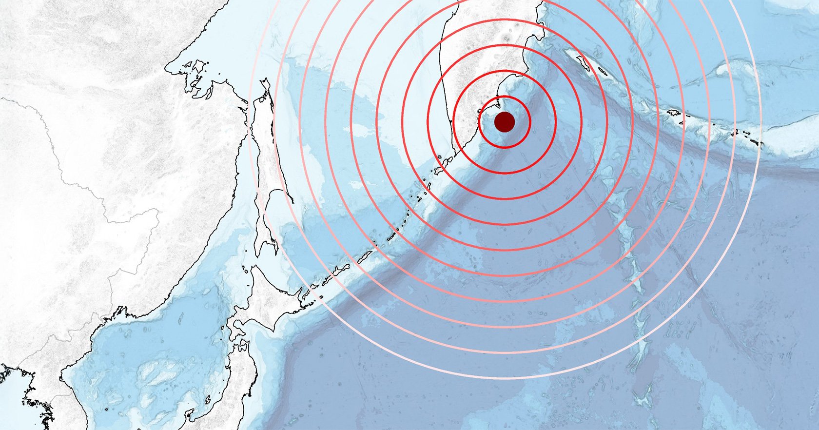
On July 29, 2025, a magnitude 8.8 earthquake occurred near the Kamchatka Peninsula. It was so powerful, it ranks as the sixth-largest earthquake ever recorded by modern instruments. Using this giant earthquake as a learning opportunity, researchers at Tohoku University's International Research Institute of Disaster Science (IRIDeS) combined multiple datasets in order to reconstruct the movement of the faults (fractures in the earth's crust). Their analysis could help us better understand the tsunami risks faced by local communities, and how to protect them.

"The Kamchatka Peninsula is one of the most tectonically active plate boundaries in the world, known as a subduction zone," says Chi-Hsien Tang (IRIDeS). "This subduction zone produces some of the largest earthquakes on Earth, such as the magnitude 9.0 earthquake in 1952."
In subduction zones, when a tectonic plate dives beneath another, it can trigger a giant earthquake. However, how far earthquakes can extend along the plate interface and whether they reach the shallowest part of the subduction zone are not always clear. The 2025 Kamchatka earthquake was the first one in this region with detailed observations from modern satellites. By combining satellite radar imagery and GPS data, the researchers reconstructed how the fault moved during this giant earthquake.

The team built three slip models simulating the Kamchatka earthquake and compared them to actual tsunami records. Their results suggest that although the earthquake was large, the amount of movement near the seafloor was more limited than expected. Since seafloor movement is critical for tsunamis, it explains why the resulting tsunami in this case was smaller than early forecasts.
"It was so rewarding to see that our analysis consistently matched up with actual observational records," says Tang.
However, there is still a risk that the unruptured portions of the fault surrounding the slip zone may move in future earthquakes. The findings indicate that areas north of the rupture zone and the shallow portion of the fault may carry higher tsunami potential.
This work also suggests that land-based data alone is not enough to fully capture offshore earthquake behavior, highlighting the importance of seafloor observations. Accurate modeling and reconstruction of giant earthquakes such as these is expected to help with predicting the risk of dangerous tsunamis.
The findings were published in Geoscience Letters on April 17, 2026.

- Publication Details:
Title: Lateral extent of coseismic slip and limited shallow rupture during the 29 July 2025 Kamchatka earthquake illuminated by geodetic and tsunami data
Authors: Chi-Hsien Tang, Yo Fukushima, Yutaro Okada, Ayumu Mizutani
Journal: Geoscience Letters
Contact:
Chi-Hsien Tang
International Research Institute of Disaster Science (IRIDeS)
Email: tang.chi-hsien.b8 tohoku.ac.jp